
Engineered for India's satellites
Native NavIC integration combined with multi-constellation tracking provides rapid signal locks and uninterrupted positioning across the subcontinent's most challenging terrains.

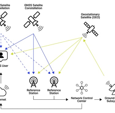


Multi-constellation RTK engine
Native NavIC Integration
Unlike standard receivers that treat Indian regional satellites as secondary, our hardware prioritizes NavIC signals. This direct integration guarantees faster positioning and higher reliability under heavy forest canopy or deep urban canyons.
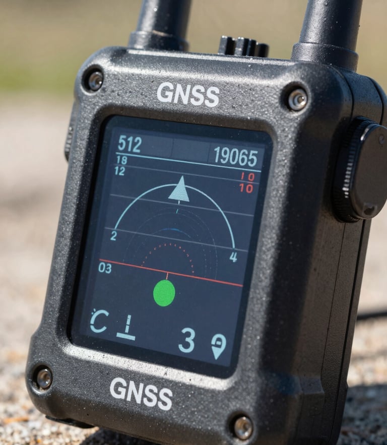
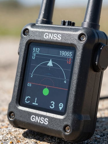
Centimeter-Level RTK
Advanced dual-frequency RTK algorithms resolve atmospheric distortions in real-time. Surveyors achieve reliable horizontal and vertical accuracy within seconds, even when operating in challenging regional datums.


Calibrated for Indian soil
Every Dhruva receiver undergoes rigorous physical and atmospheric calibration before leaving our facility. We adjust internal RTK models to account for regional ionospheric variations unique to the Indian subcontinent, ensuring absolute precision.
Our engineers calibrate hardware against local geodetic datums, eliminating coordination drift. This meticulous process guarantees that your coordinates align with national infrastructure grid requirements.
Verify our accuracy in the field
Request a hands-on technical demonstration with our regional surveying specialists or download the complete engineering whitepaper.